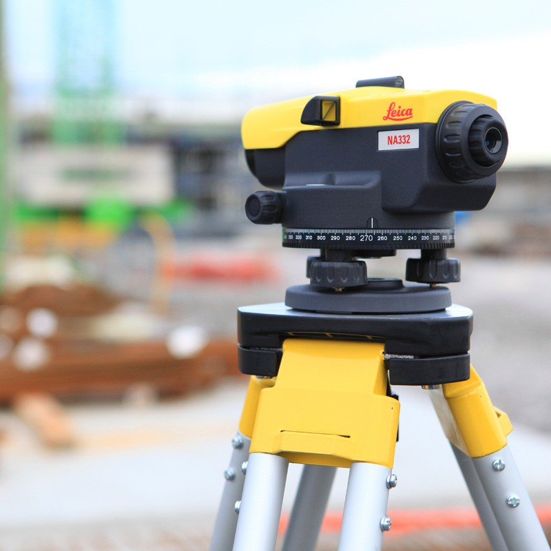
Professionals face many obstructions on site. Whatever the levelling challenge, Leica NA300 Series levels overcome. Rely on the known expertise of Leica Geosystems for the best quality and performance. On your terms, on your site, Leica Geosystems and the Leica NA300 Series are your trusted partners for accurate measurements every time.
UNIQUE. ACCURATE. SIMPLE.
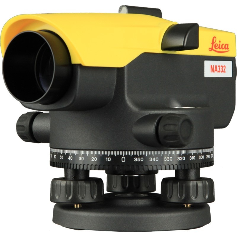
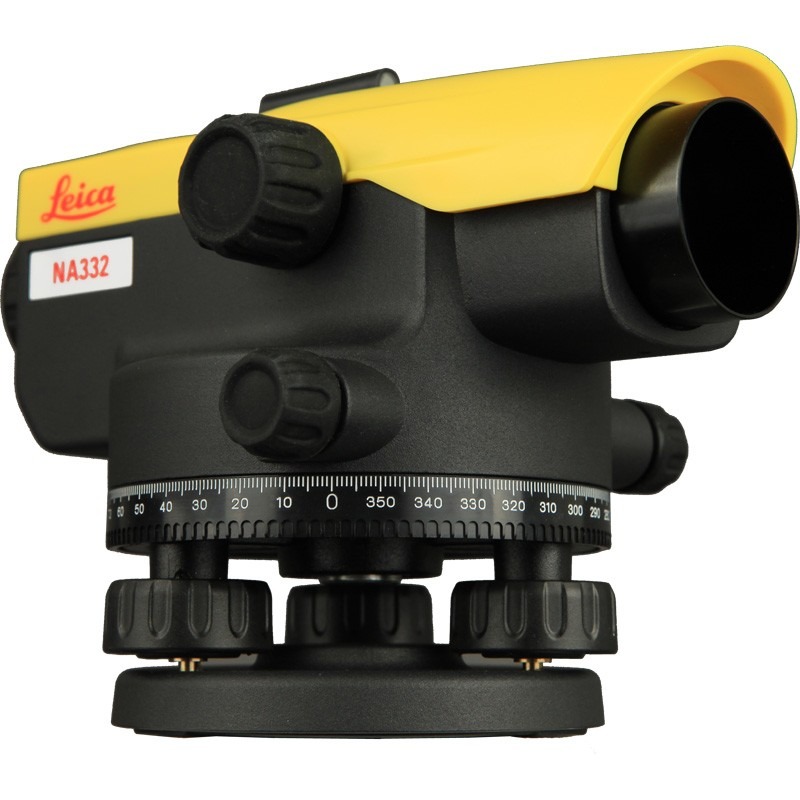
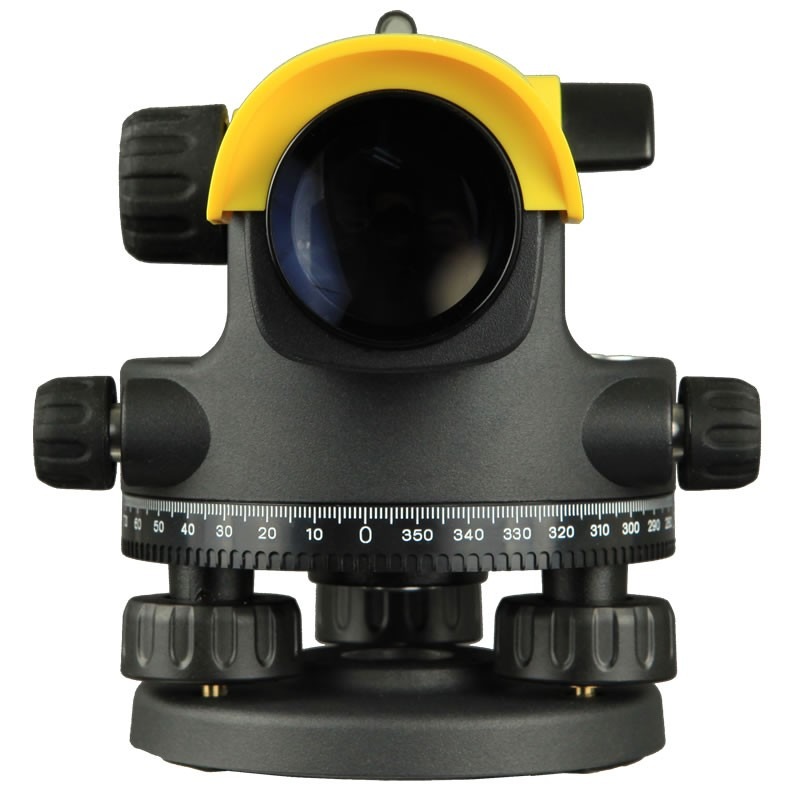
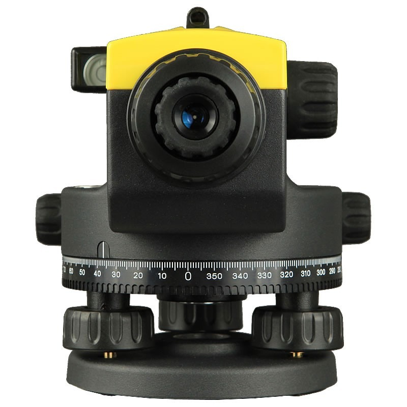
1 Distinctive design and proven technology, inside and out
2 Leica Geosystems understands construction and provides levels for all needs
3 Protected shape for increased ergonomic handling while ensuring the highest quality results
4 Simple handling for quick and accurate measurements
KEY BENEFITS
1 Quick and easy measurements
2 Unique design and highest quality of results for levelling needs
3 Manufactured for the most rugged sites and the harshest conditions
4 Expert knowledge of Leica Geosystems with more than 270 service centres worldwide
5 Unbeaten service offering
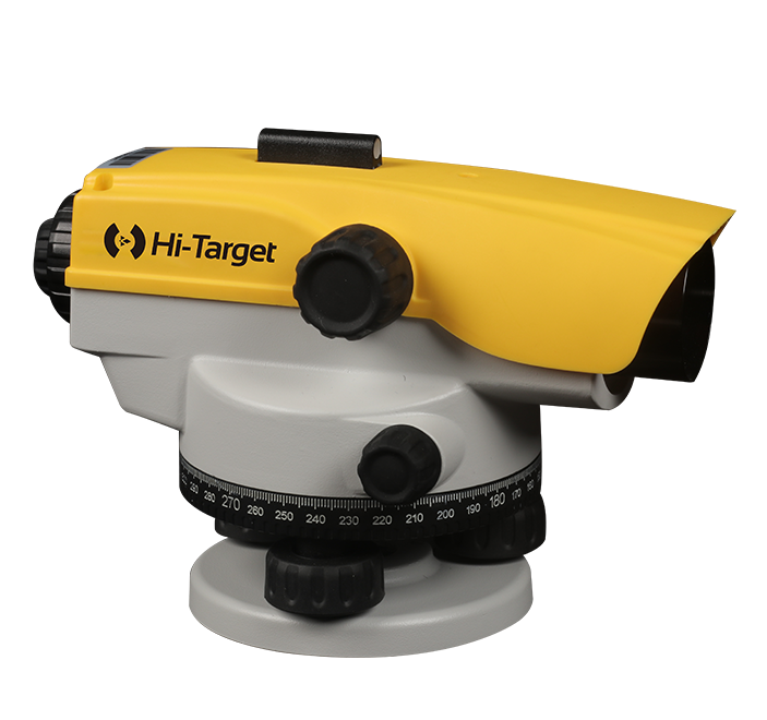
Leica NA300 Series
| TECHNICAL DATA | Leica NA320 | Leica NA324 | Leica NA332 |
| Standard deviation for 1 km double levelling (ISO17123-2) | 2.5 mm | 2.0 mm | 1.8 mm |
| TELESCOPE | |||
| Telescope image | Upright | ||
| Magnification | 20 x | 24 x | 32 x |
| Objective aperture | 36 mm | ||
| Shortest target distance from instr. axis | <1.0 m | ||
| Field of view at 100 m | <2.1 m | ||
| Multiplication factor | 100 | ||
| Additive constant | 0 | ||
| COMPENSATOR | |||
| Working range | ± 15’ | ||
| Setting accuracy (standard deviation) | <0.5’’ | ||
| Sensitivity | 8’/2 mm | ||
| HORIZONTAL CIRCLE | |||
| Graduation | 360° | ||
| Graduation interval | 1° | ||
| Weight (net) | 1.5 kg | ||
| Operating temperature range | –20° C to +40° C | ||
Comments0